Saturday, August 25, 2012

TS Isaac Disorganized Near NE Cuba

Good Afternoon, I appologise for not posting an update sooner, but family illness has kept me busy!! Tropical Storm Isaac crossed the extreme western tip of Haiti and then moved over the eastern tip of Cuba late last night and is still hovering near the northeast Cuban coastlines. Isaac should begin to strengthen once over the warm waters of the Florida straits in 12 to 24 hours. Isaac should move northwest into the eastern Gulf of Mexico and strengthen to a hurricane near the southern tip of Florida. Thereafter the forecast track as well as intensity is a bit tricky. A trough of low pressure in the mid layers of the atmosphere will lift northeastward leaving behind a weakness along the periphery of the Atlantic high. How pronounced this weakness is combined with the intensity of Isaac will ultimately determine Isaac's track. Models are in fairly good agreement through day 2, however thereafter a significant spread in the guidance envelope is noted from run to run. The latest run of the GFS has Isaac making landfall along the MS and AL border, while in a new twist the Euro has Isaac making landfall along the Florida panhandle. It must be also noted that many members of the GFS ensemble runs are west of the mouth of the Mississippi river, with one near Galveston. My confidence is low after 48 hours and all interests from Eastern Texas to Florida should monitor the progress of Isaac. Immediate impacts will be tropical storm force conditions in the Florida Keys and thereafter possible hurricane conditions in extreme southern Florida with storm surge of 5-7 feet. Hurricane preparations in those areas should be rushed to completion and all warnings by local officials heeded. Thanks, Jeremy

Thursday, August 23, 2012

Tropical Storm Isaac....Westward Trend!!

Good Afternoon,

Quick update...models this afternoon have trended significantly westward with the 12Z Euro model bringing Isaac ashore on the Texas/Louisiana border. While the GFS has landfall near the Florida panhandle, significant westward shifts are occurring with this model as well. This could be due to Isaac staying weaker than forecast. All interests from SE Texas to the Florida coastlines should closely monitor this situation!!

Thanks

Jeremy Mansfield

Wednesday, August 22, 2012

Ts Isaac Still Weak

Good Afternoon, Tropical Storm Isaac continues to become more defined and is expanding in size. The hurricane hunters are currently investigating the system and could find the center relocating further south and west than the previous fix. This could have an impact on eventuall track. The models are in fairly good agreement through day 3 keeping Isaac just south of Puerto Rico, Hispaniola. Then the models diverge somewhat with the Euro model staying south of Cuba and the GFS crossing eastern Cuba toward southern Florida. I have little confidence in the five day track of Isaac, so interests from the GOM to Florida should closely monitor this situation!! Thanks, Jeremy

Saturday, August 18, 2012

TS Helene, Hurricane Gordon, Isaac Soon to Come!!

Good Morning, Hurricane Gordon continues to move off to the east towards the Azores Islands as a 85 MHP storm. Gordon could strengthen a bit more before moving into cooler waters and becoming extra-tropical. Hurricane Gordon is no threat to any US landmass. Tropical Storm Helene has made landfall along the central Mexican coastline this morning and has been downgraded to a tropical depression. While dissipation over land seems likely over the next few days over northern Mexico, a second solution is also possible as depicted by the GFS model. Helene could move back out over water and restrengthen, possibly moving northward toward the northwestern Gulf of Mexico. It is also possible that the GFS is "seeing" a piece of energy or leftover convection interating with a frontal system currently pushing into SE Texas and later offshore. Development along frontal boundaries are all too common this time of year especially since conditions in the Gulf of Mexico appear to be favorable and water temperatures are high. This is something to watch over the next few days as steering currents for Helene remain weak and it appears she may meander for a few days. Invest 94L has been designated for a robust tropical wave that moved off the African coast a few days ago. Models are latching onto development of this system and conditions appear to be ripe in the central and western Atlantic as 94L makes its trek westward. All indications are that this system could become Tropical Storm Isaac in 24 to 36 hrs. This system will need to be watched closely over the next few days and will likely become the leading weather story as most models predict 94L developing into a powerful system. The first landmass to feel future Isaac's effects will be the Lesser Antilles Islands and Puerto Rico in approximately 5 days or so. Thereafter the models diverge somewhat on a track into the Gulf of Mexico by a weaker system, or recurve just off the East Coast by a strong hurricane. A recurve near Bermuda is also not out of the question. Future Isaacs eventual track will depend on the orientation of the A/B high, and timing of troughs of low pressure over the eastern seaboard. This area needs to be watched carefully over the next 10 days or so. Thanks, Jeremy

Thursday, August 16, 2012

Ts Gordon Forms....GOM Development Possible!!

Good Morning,

Tropical Storm Gordon has formed in the north central atlantic this morning. Ts Gordon is moving northward but is forecast to move northeastward with time possibly affecting the Azores Islands in a few days.  Although Gordon is not forecast to become a hurricane, a strong tropical storm is not out if the question. Tropical Storm Gordon will be no threat to the United States coastlines.
     Later this weekend the remnants of what once was TD#7 will move into the Bay of Campeche bringing tropical moisture to the area. The combination of this energy combined with a frontal boundary pushing southward into the GOM could bring some development over the course of the weekend. This area should be watched for development and we will keep you posted if that is indeed the case.

Thanks,

Jeremy


Monday, August 13, 2012

Tropical Outlook: Eastern Pacific/ Atlantic

Good Afternoon Everyone! 

Acronym Key: 
SAL: Saharan Air Layer
LLC: Low Level Circulation
EPAC: Eastern Pacific Ocean
EATL: Eastern Atlantic Ocean
MCP: Minimum Central Pressure
CDO: Central Dense Overcast
GOM: Gulf of Mexico
NHC: National Hurricane Center
UKMET: United Kingdom Met Office Model
NOGAPS: Navy Operational Global Prediction System 
CMC: Environment Canada Global Environmental Multiscale Model 
ECMWF: The European Centre for Medium-Range Weather Forecast’s Global Model
GFS: Global Forecasting System
ITCZ: Inter-Tropical Convergence Zone
COC: Center of Circulation
AOI: Area of Interest


The tropics are currently rather quiet for this time of year, and I don’t expect any major activity for about 3-4 days. The remnants of TD07 continue to struggle through the Central Caribbean. A combination of dry air, wind shear, and trade winds continue to eat away at whatever convection tries to develop. Some computer models try bring TD07 back to life and some don’t. I am going to hedge my bets on TD07 not reforming. There are just too many obstacles in the way for the wave including land, and more dry air out in front of the system. I would probably be at 10% chance of redeveloping, which is a little bit lower then the NHC’s 20% chance. As for 93L, I do not see this system developing and would also put it at a 10% chance for redevelopment. According to model guidance, 93L will merge with a trough of low pressure as it starts to make its way out to sea. Convection has also been nonexistent throughout its lifecycle due to a large amount of dry air entangled within the storm. 


Remnants of TD07 struggle to survive. 


93L will not escape the dry air for some time.

Elsewhere in the Atlantic there is a tropical wave coming off the coast of Africa that currently has a little bit of spin to it. If the wave can fire off more convection and vorticity values come up, an invest of the area could be required. 


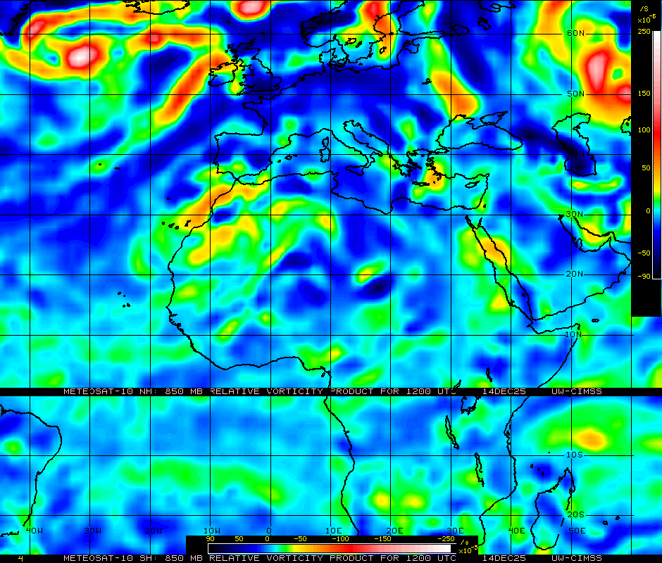
850 mb shows an elongated spin coming off of Africa. 

Hector remains a highly sheared tropical cyclone with most of the convection off to the west of the LLC. The current CI Dvorak values tag this system as a weak tropical storm. The forecast for Hector is to continue on a westward track for a day or two and then start to move northwestward where it will encounter cooler SST’s. At this point it will degenerate into a remnant low. Also in the EPAC we have invest 95E. This area of concern is not forecasted to develop in the next 48 hours, but the area will still have to be monitored. 


Hector trying to fire off convection in the EPAC. 

Thanks everyone for reading! 
Also, these forecasts do not reflect the OFFICIAL forecasts from the NHC; please consult the NHC for official public forecast on all active Tropical Cyclones. 
~Matt~ 

Saturday, August 11, 2012

TD#7 Is Dead, Could Regenerate!!

Good Evening, TD #7 was declared dead by the National Hurricane Center this afternoon after a Airforce Recon plane found no closed center of circulation. This system has struggled with dry air and wind shear since its birth so its no surprise that the negative factors won. Some computer models regenerate TD7 in a few days in the western Carribean where conditions could become more favorable, but at this time chances of that look rather slim. Invest 93L is moving northwestward toward an area not conducive for development. If developement should occur most computer models recurve the disturbance well before any interaction with land. A trough of low pressure or cold front is sagging southward into the SE United States and is forecast to push offshore into the Gulf of Mexico this weekend. This frontal system combined with an upper level low pressure area moving northward from Cuba could be an area to watch later this weekend. If the ULL can work its way down to the surface there is abundant moisture available in the SE Gulf and historically the cut off portion of a frontal system adds energy to the mix making this an area to keep tabs on the next few days. Thanks, Forecaster Mansfield